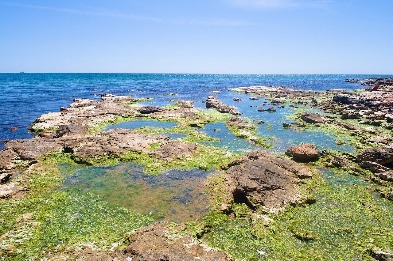
Amphitheatre at Pietrele Scrise
Not far from the Cave of Saint John Cassian, the limestone forms a natural semicircle, like a cavea. Locals call it an amphitheatre; it has no stages, no tickets, only rock steps a…
Checked guide · one place = one sheet
51 places found with the current filter.
Not far from the Cave of Saint John Cassian, the limestone forms a natural semicircle, like a cavea. Locals call it an amphitheatre; it has no stages, no tickets, only rock steps a…
A kilometre north-east of Beștepe, at Piatra lui Boboc, the traces of a Getic dava are kept. In older literature the place — and the settlement beside it — also appears as Salsovia…
Bănuții Dobrogei are stacks of limestone in the Dobruja Gorges, near Târgușor: superimposed discs and slabs that, from afar, look like giant coins set one on another. They are a pl…
On the left bank of the Danube, at Hârșova, Jurassic limestone comes out in white walls, cut by water and wind. They are called canarale: cliffs, visible strata, paths along the to…
Near Băneasa, toward the Bulgarian border, the valley tightens between limestone walls. Canaraua Fetii is a reserve: forest, rock, paths without a rail, low caves on the slope. Ero…
From Jurilovca, DJ229P takes you toward a limestone cliff above Razelm. Cape Doloșman is a strict reserve (IUCN I), in the Danube Delta National Park, a UNESCO site. The protected…
Next to the Tulcea promenade, a three-level building holds the Delta's ecotourism museum centre. The exhibition is interactive: habitats from Razim-Sinoe to the plateau and the Măc…
Some three kilometres from Izvoarele, on the terrace above the Danube, the walls of Sucidava read in the grass. It is a late Roman fortification, fourth to sixth centuries, a guard…
The Dobruja Gorges cut the limestone plateau between Târgușor and Cheia: a short valley, with white walls, caves and steppe vegetation. They are not the Alps, but for Dobruja they…
Ceaplace Island, in the Razim–Sinoe lagoon complex, is one of the places where pelicans (Dalmatian and great white) nest in large numbers on the Romanian coast. It is not an island…
In 1972 Constanța opened the first dolphinarium in south-eastern Europe. It is part of the Natural Sciences Museum Complex, together with the Aquarium, the Planetarium and the Mini…
On the hills at Camena, two fissures in the volcanic rock form a grotto of some eight metres, with a basin of water below. Locals call it the Haiduks' Grotto: people fled from the…
Gura Portiței is the place where the Razim lagoon opened — and, in places, still ties — to the Black Sea. Today it is a tongue of sand and reed, with a wild beach, usually reached…
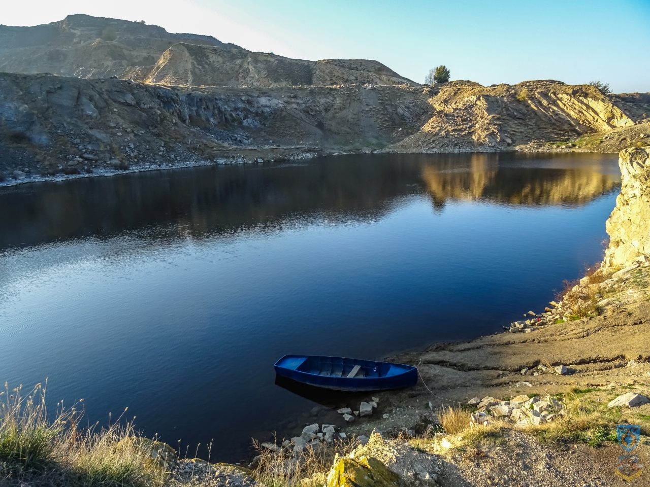
At the foot of the Măcin Mountains, near Turcoaia, a granite quarry was filled by water after an explosion broke the water table. The bowl became a lake: steep walls, a dark-green…
Opposite Capidava, on the Danube reach at Topalu, a rocky island with an almost round outline rises. From the bank it looks like a stone ring. It has no fitted landing and you cann…
Locals call it Izvorul Licuvita or Burecu’s Spring. From the stone with a cross at the edge of Beidaud, toward the wood near Sarighiol de Deal, there are another 200 metres or so a…
A few kilometres from Constanța, between shore and hills, stretches the largest salt lake in the country: more than 10 km² of heavy water, known from antiquity for its sapropelic m…
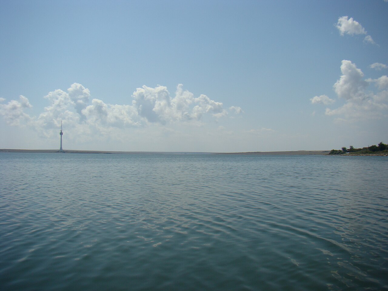
Razim (Razelm) is the largest liman on the Romanian shore of the Black Sea, part of the Razim–Sinoe complex. The water is brackish, the shores low, the villages — Jurilovca, Sarich…
At the edge of Migilet forest, near Ion Corvin, a low cave is tied to the tradition that the apostle Andrew stayed here in the 1st century. The monastery above was organized in 194…
In the 1980s, on Mamaia Boulevard, next to the Dolphinarium, a mini-reserve was laid out with paths, a stretch of water and enclosures. You have birds from the Delta and from Dobro…
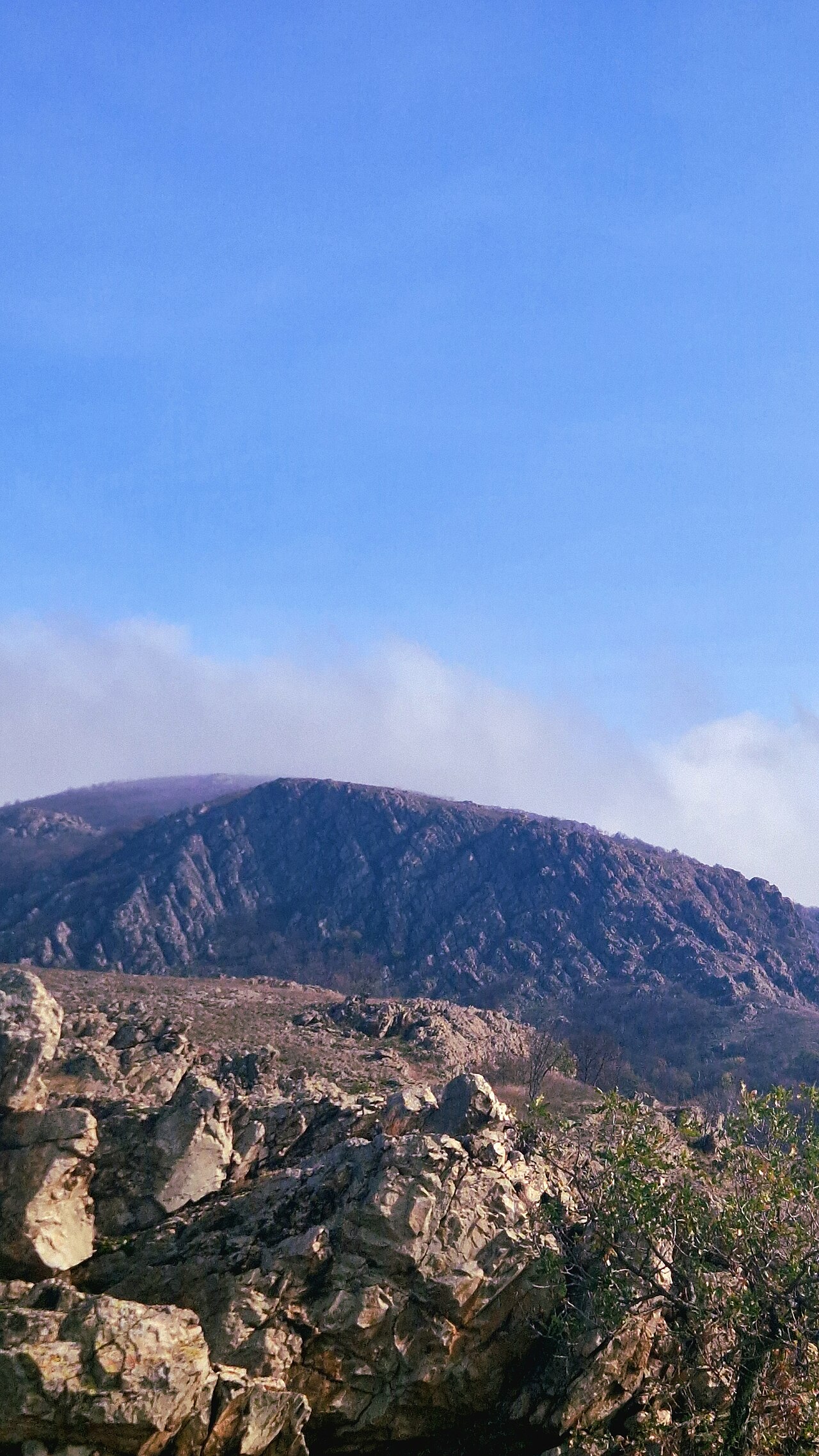
Țuțuiatu, the highest peak, is 467 metres. That is all. The Măcin Mountains do not wait for you with glaciers, but with old stone, downy-oak forest and granite ridges that you do i…
Leave Babadag on the forest tracks and, in a few minutes, you are on the Babadag Plateau: limestones, clearings and stands of oak. The wood is part of the nature reserve and of the…
Caraorman means, from Turkish, “the black forest”. It stands in the south-west of the Delta, between reeds and dune, and has remained hard to reach: almost only by water. Secular o…
Between Neptun and Olimp, behind the resorts at Mangalia, begins a wood planted in 1903–1906, when the Comorova lagoon was drained and replaced with pines and broadleaves. Before t…
About 10 kilometres from Mangalia, on the territory of Limanu commune, a strip of sub-Mediterranean forest of more than 400 hectares has been kept. The Murfatlar Forestry District…
On the sandbar between the arms, Letea became a reserve in 1938, when Hașmacul Mare was first protected. Since then the area has grown to more than 5,200 hectares, of which some 2,…
Lake Tăbăcărie links Tomis Nord to the road toward Mamaia, with City Park Mall on one side. Around the water, between the 1960s and 1980s, a neighbourhood park was laid out with al…
On the slope of Urluia Valley, near Aliman, a grotto of some 14 metres has three mouths - two side ones and a main one. Locals called it the Thieves' House: the shape looks like a…
The Cave of the Skulls lies in the area of the Dobruja Gorges, near Cheia. The name comes from archaeological finds: human remains that gave the place a reputation more of a site t…
North-east of Gura Dobrogei, La Adam Cave is a hollow in limestone, researched for Pleistocene fauna and for traces of Palaeolithic habitation. Cave-bear bones and pieces that indi…
Near Cheia, in the forest limestones, a short gallery gives a spring - hence the name. The water comes out cold, visible at the mouth. Inside there are a few low rooms, without ins…
Between Slava Cercheză and Ciucurova, in the Tulcea hills, La Varlan Cave is reached on dirt roads and paths. It is karst with halls and narrowings, limestone walls, without fittin…
Near Dobromir, a low cave shelters bat colonies. The temperature is constant, the humidity high - exactly what they need in winter and summer. That is where the name comes from. It…
Near Mangalia, the galleries at Limanu add up to between 3,200 and 4,000 metres - the longest karst network in Dobrogea. It is not a tunnel toward Bulgaria and it is not an undergr…
In 1986, the speleologist Cristian Lascu discovered near Mangalia a cave closed for about 5.5 million years. The air is poor in oxygen, rich in carbon dioxide and hydrogen sulphide…
John Cassian, a 4th–5th-century theologian born in Dobrogea, is tied to a cave near the village of Casian. Tradition says he withdrew here before the journeys to Egypt and to Marse…
From Greci the red triangle passes the information centre of Măcin Mountains National Park and climbs the Ditcova valley to the granite blocks called Pietrele Mariei. They are on t…
Below the Casino cliff, Modern Beach is the most handy strip of sand in the city. You arrive on foot from the peninsula, without taking the bus toward Mamaia. It has a sector with…
In the north of Constanța, close to the university area, Tataia was, in the interwar years, the beach of those who did not go to Mamaia. Beside it, in 1914, Captain Al. Șteflea lai…
The name Trei Papuci comes, locals say, from an old fishermen’s tavern, not from a pair left on the sand. The beach sits between North Cliff and Modern: sand, then rock and a cliff…
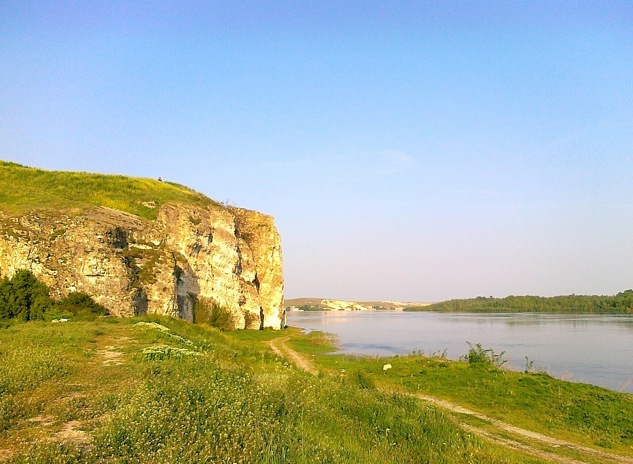
Between Topalu and Tichilești, the right bank of the Danube cuts a reef from the Upper Jurassic. The limestone is full of traces of shells and corals from more than 140 million yea…
On the hills near Enisala the steppe peony ( Paeonia peregrina ) blooms, briefly. It is not the same reserve as Dealul Bujorului at Ciucurova: it is the slope above the lagoon, wit…
Valea Oilor, also near Ciucurova, protects a stand of wild lilac (Syringa vulgaris). The core is about 0.15 hectares; with the buffer zone you reach 0.35. In Tulcea County, spontan…
Between 2 Mai and the Bulgarian border, the waters at Vama Veche cover some 5,000 hectares: 7 km of coast, down to the 40-metre isobath. Protection began in the 1980s, through deci…
The reserve at Beidaud covers 1,121 hectares of the North Dobrogea Plateau: forest-steppe woods, clearings, rock, dry habitats. It is a place for walking and for birds, not for a p…
On the southern slope of the hill at Ciucurova, some 50 hectares guard the Romanian peony (Paeonia peregrina), listed on the Red List. Among oaks, hornbeam, ash, cornel and hawthor…
The Chituc sandbar cuts some 27 kilometres between Sinoe Lagoon and the sea. Its width runs between a kilometre and a half and more than two, as the sand of the Danube and of the c…
Near Topolog, in Tulcea, the wood stands away from the beaten routes of the Delta. You arrive on local roads, then on paths. Oaks and ashes hold dense shade; the soil is dry, typic…
In the north of Constanța County, near Casimcea, the valley cuts the hills in short slopes and bare sides. Mahomencea has no reserve gate and no panels. You arrive on communal road…
Between Medgidia, Murfatlar and the commune of Valu lui Traian, the plain is not straight: a long line of earth and, in places, of stone cuts Dobrogea from the Danube toward the se…
Site photos: Wikimedia Commons or the newsroom, credit on each sheet. No images from dobrogea150.ro.
Nothing found. Try another term.